News
As part of the LIFE RESTORE for MDD project, the Public Enterprise Vojvodinašume (VSUME) has successfully completed one of the project’s key technical milestones by developing a digital terrain model for Monoštorski Rit. This model is part of the study of hydrotechnical maintenance of Monoštorski Rit, which is led by the Jaroslav Černi Institute for Water Management.
Located in northern Serbia within the Special Nature Reserve “Gornje Podunavlje”, Monoštorski Rit is one of the most ecologically valuable wetland habitats along the Danube River. The area plays a crucial role in regional biodiversity and water regulation.
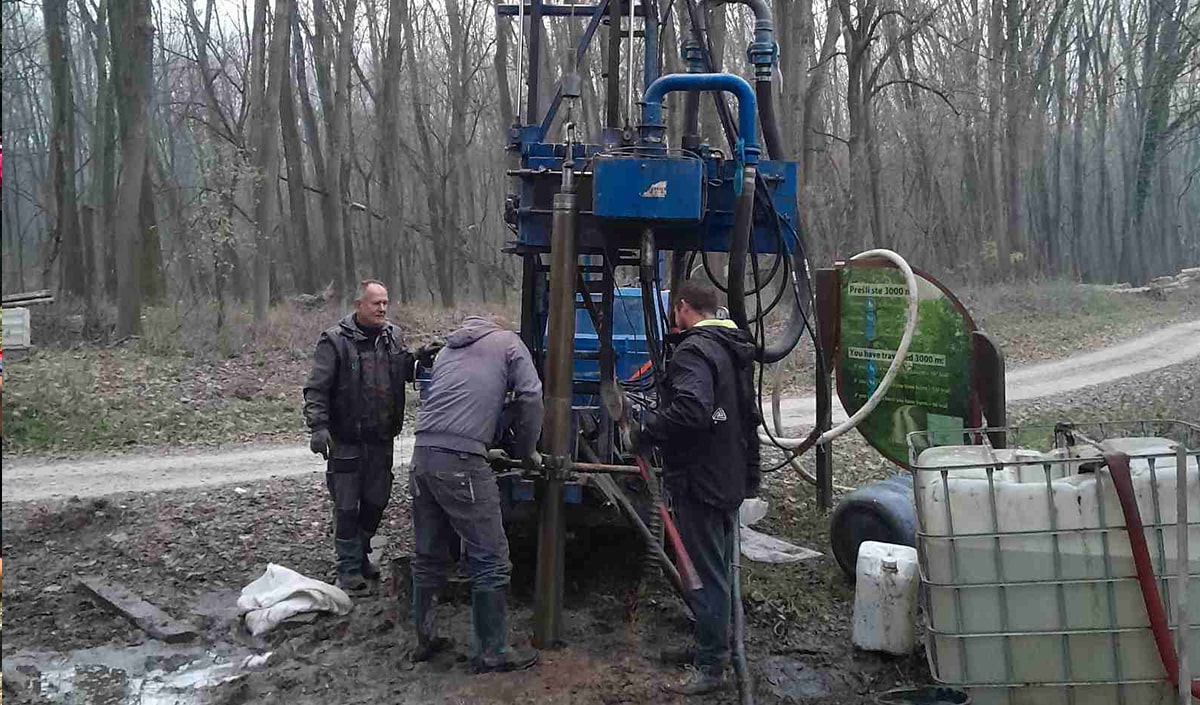
The study included comprehensive field investigations, laboratory analyses and office-based research, with the aim of improving understanding of the site’s hydrological and hydraulic dynamics. The newly developed digital terrain model offers precise spatial data that is essential for the future restoration and maintenance of water bodies in the area.
Additionally, the study confirmed the positive impact of the planned project activities, thus validating the previously defined indicators and ensuring that the interventions are guided by reliable scientific findings.
These findings strengthen the technical and scientific basis for sustainable wetland management in Serbia, contributing to the development of joint restoration standards across the UNESCO Five-country Biosphere Reserve Mura-Drava-Danube.

